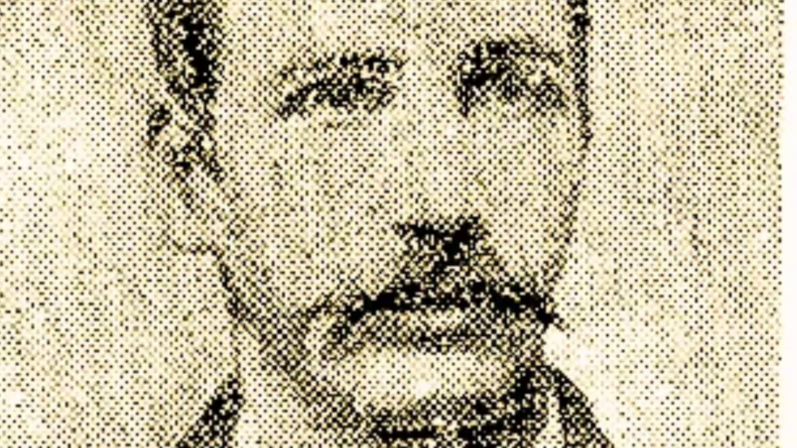
It’s easy to joke that W.W. Bettman was the only working wreckmaster in Thurston County history. And that he was better at wrecking marriages than ships. That line gets a laugh, but the actual history is far more true and interesting.
In July 1904, local Democrats put Will Bettman on the ballot for county wreckmaster.
We are now reaching for our ballots in the off-year even-year election to restock the roster of county-level officials like prosecutor, auditor, assessor, and coroner. But the coolest name for a local elected official is still County Wreckmaster.
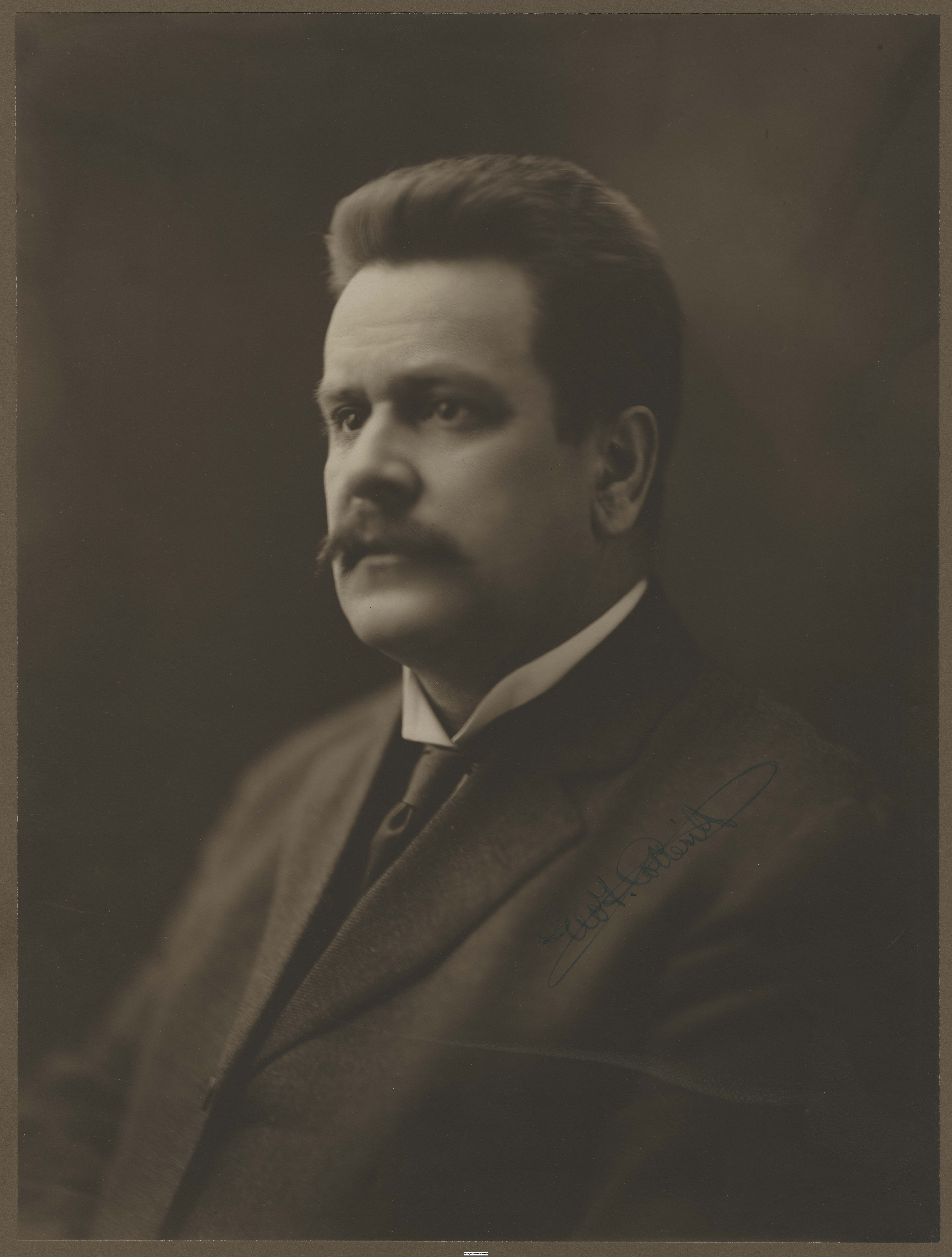
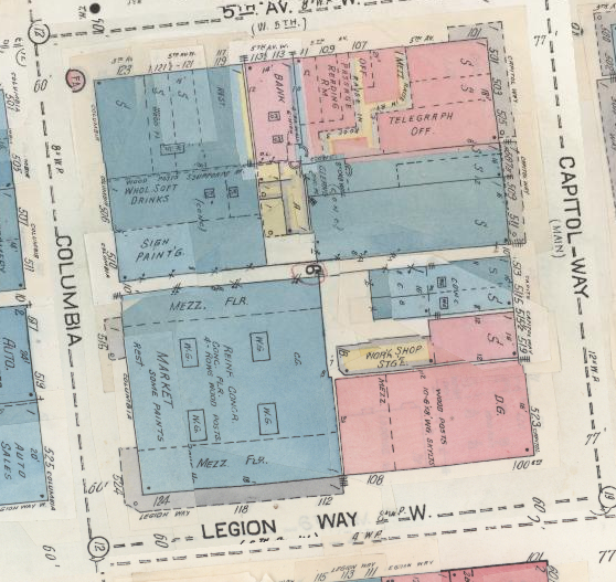
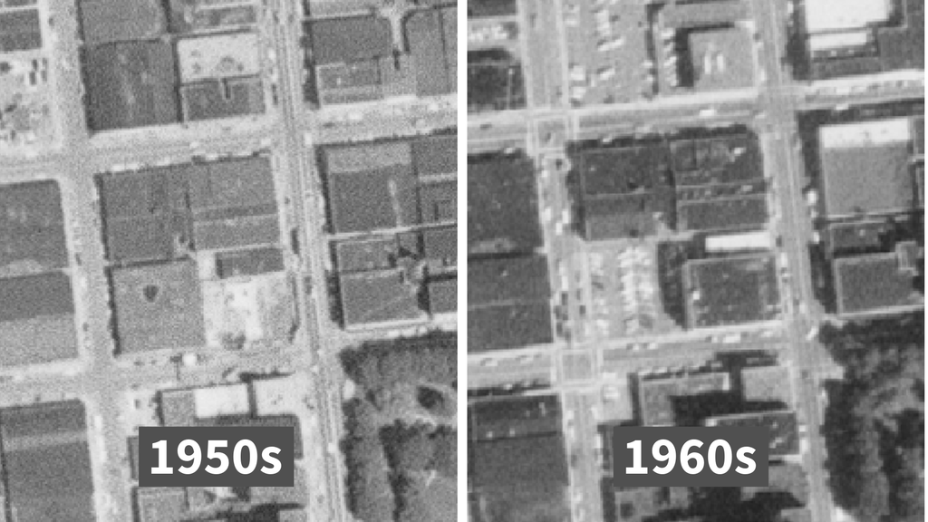
Bettman ran a store in downtown Olympia, selling suits, shoes, and hats. He ran against Hugh Ross, a Republican who had held the post so long he treated it like personal property.
The wreckmaster had real legal duties on paper. The Territorial Legislature created the office in 1854 for every coastal county. When a vessel ran aground, the wreckmaster took charge of the ship and cargo. He wrote up an inventory and posted public notices so owners or insurers could claim their goods, while also stopping locals from looting the beach. To take the job, he posted a $2,000 bond. His pay was ten percent of whatever value he saved from the water.
In a time when wrecks were common in coastal communities, and the state and federal government were distant, the wreckmaster created order. Ship owners were assured that their goods were protected, with ten percent off the top for their trouble.
But by the 1890s wrecks were fairly uncommon and ten percent of zero is zero. Down at the quiet southern tip of Puget Sound, shipwrecks were rare compared to the mouth of the Columbia River or the Strait of Juan de Fuca. County commissioners often forgot to put the office on the ballot, appointing someone in December 1893 only when an actual need popped up.
By 1904, locals treated the role as a running joke. Newspapers treated it like a dusty fire extinguisher on a wall, nice to have around just in case. Party organizers admitted the title carried no real power. Instead, it served as a useful gauge for local party strength. When no major race was on the ballot, organizers put a prominent citizen at the bottom of the ticket to measure voter turnout. Bettman fit that bill perfectly.
Local editors poked fun at the spot constantly. One paper joked that the main perk was a front-row seat on stage during political rallies. A New Year’s column advised Ross to step down from the “heavy burdens of wreckmaster.” In 1904, a squabble broke out when S.A. Madge publicly refused the nomination, prompting Ross to argue that long tenure gave him first dibs. Papers gleefully dubbed it “the momentous struggle for wreckmaster.” Nominees turned the role down all the time, and winners often skipped the formal swearing-in.
Bettman knew what he was getting into. A young shopkeeper could run for the office to build name recognition, expecting zero actual work beyond a few mentions in the press and a seat on the platform.
Then an actual wreck happened. A steamer named the Eastern Oregon caught fire and sank right at the dock in Budd Inlet. Bettman was called in, step-by-step fulfilling every statutory duty on the books. That single incident was the total sum of official wreckmaster duties ever performed in Thurston County history.
Bettman returned to his regular routine after that. His store thrived, and he regularly ran ads urging residents to shop locally rather than ordering from mail-catalog giants. During the financial panic of 1907, he accepted local clearinghouse scrip instead of paper currency. He joined civic committees, appeared in the social columns, and earned friendly shoutouts in the local press.
His life was not completely quiet, though.
In August 1929, J.D. Haaspel filed a $50,000 lawsuit against Bettman in Superior Court. Haaspel claimed Bettman befriended Mrs. Haaspel while she was living in Olympia, promising her $85,000 in cash and coverage of her legal fees if she divorced her husband. She finalized her divorce in February 1927. Haaspel argued the loss of his wife’s affection caused him deep distress. Court filings showed another perspective as well. Mrs. Haaspel had moved to Tacoma years earlier, remaining married in name only. When her divorce went through, Bettman did not stay in the picture anyway.
The situation was messy. Today, accusations like that might draw whispers or get brushed off as gossip. A lawsuit for “alienation of affections” is a bizarre relic. It is an attempt to use the legal system to enforce an emotional bond that had already dissolved. As Washington moved to a no-fault divorce system in the 1970s, the tort itself was taken out of the legal toolbox of jilted partners. Mrs. Haaspel had moved away years prior and the marriage was dead long before the court filing. Haaspel wasn’t suing to save a relationship, but to collect a fee on its wreckage.
He wasn’t the only one clinging to a ghost structure. Fourteen years earlier, Washington state had finally gotten around to sweeping away a similar ghost in county government. On March 8, 1915, Governor Ernest Lister signed House Bill 126, formally abolishing the office of wreckmaster.
Sailing ships had given way to steam engines, harbor management had moved to public port districts instead of private entities, and federal maritime courts handled salvage. Yet for decades, local parties kept putting wreckmasters on the ballot, and residents kept voting for them, preserving a legally binding position for a job that barely existed, based on a worldview that Puget Sound had outgrown.
The harbor was Olympia’s primary connection to the wider world, and the wreckmaster was the county’s designated overseer for that gateway. Olympia sits at the end of a long inlet. A resident could spend an entire lifetime in Olympia, wander down to the piers one afternoon, and chat with sailors bound for East Asia. The wreckmaster was a local neighbor with a bonded duty to handle whatever washed ashore.
The concept was borrowed from older states back East and in Oregon, pasted onto Puget Sound like a coat sized for someone else. When the state outgrew the system, lawmakers retired it.
Ask why a county today elects an assessor, a treasurer, or a sheriff, and you will hear a long historical explanation that treats our current systems as permanent and self-evident. But history shows that institutions, like relationships, rarely end on the exact day we stop needing them. We keep the titles, the ballots, and the cause-of-action laws around because they offer a comfortable illusion of order long after the sea change has occurred.
In the end, Bill Bettman’s stint as wreckmaster and his legal entanglement years later were bound by the exact same historical pattern: the official end was an acknowledgment that the wreckage had already settled, and the world had moved on.
Ask why wreckmasters once existed, and the reason is straightforward. Ships ran aground and someone needed to secure the cargo. Ask why the position disappeared, and the answer is just as clear.